
A project to map agricultural areas in the UAE using drones has completed its first two phases.
The initiative, covering various emirates, has surveyed around 1,100 square km of land so far.
Dr. Thani bin Ahmed Al Zeyoudi, Minister of Climate Change and Environment, provided a detailed overview of the project results to His Highness Sheikh Mohammed bin Rashid Al Maktoum, Vice President and Prime Minister and Ruler of Dubai.
The data is being used to monitor crops and help farmers boost productivity. It will also help authorities assess the impact of climate change on the agricultural sector.
''The initiative, once completed, will place the UAE among the top five countries in the world in terms of the area surveyed using unmanned aerial vehicles, and the first to employ this technology to map as many categories of statistical data," said Dr. Al Zeyoudi.
Aimed at facilitating the planning of future agricultural support services, the scheme will provide a wealth of raw data for analysis, such as the number and size of the crop, livestock, and mixed farms as well as cooled and regular greenhouses, soil type and condition, crop diseases, and irrigation methods.


 Abu Dhabi authorities respond to fire from drone strike in Al Dhafra
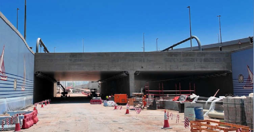 Dubai's Al Khaleej Tunnel Project targets huge cut to travel time by 2030
 Putin thanks UAE President for Russia-Ukraine mediation efforts
 Dubai Police warns of videos promoting excessive energy drink consumption

