
The UAE has completed the trial phase of a project to map agricultural areas using drones.
It's been helping the authorities collect data on farms and greenhouses in the country, as well as livestock population and soil type.
The Ministry of Climate Change and Environment (MOCCAE) is also using the technology to monitor crops and help farmers with forward planning.
The project's pilot phase between August and December in 2018, involved remote sensing and aerial imagery of Wadi Al-aim in Ras Al Khaimah.

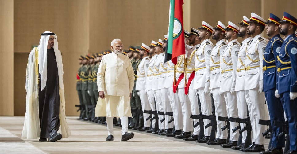 UAE, India ink defence, energy partnerships as Sheikh Mohamed meets Modi
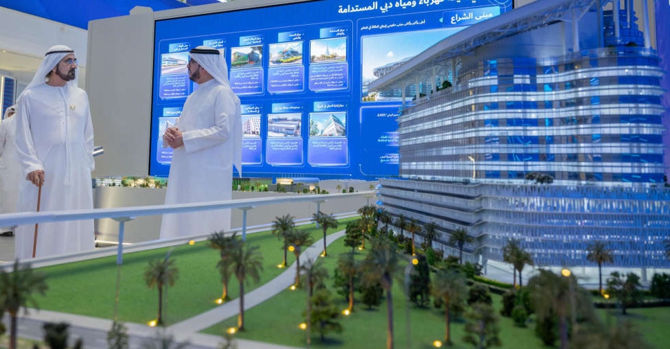 H.H. Sheikh Mohammed opens DEWA's 'largest, smartest net-zero energy' HQ
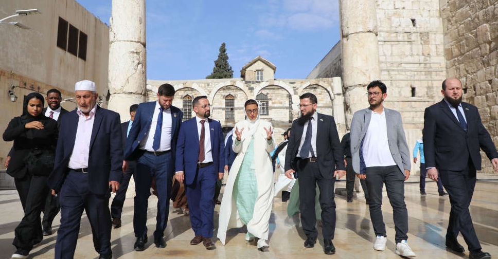 UAE to restore Umayyad Mosque in Syria's Damascus
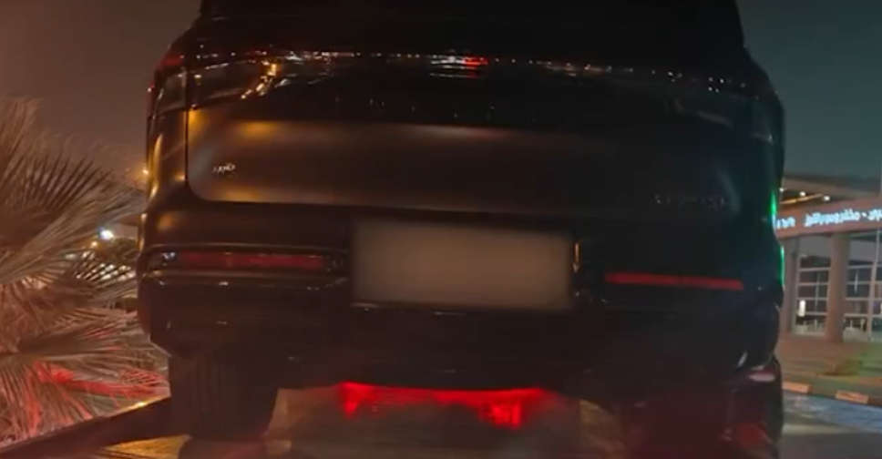 WATCH: Dubai driver caught for reckless stunts on high-speed highway

