
The UAE has completed the trial phase of a project to map agricultural areas using drones.
It's been helping the authorities collect data on farms and greenhouses in the country, as well as livestock population and soil type.
The Ministry of Climate Change and Environment (MOCCAE) is also using the technology to monitor crops and help farmers with forward planning.
The project's pilot phase between August and December in 2018, involved remote sensing and aerial imagery of Wadi Al-aim in Ras Al Khaimah.

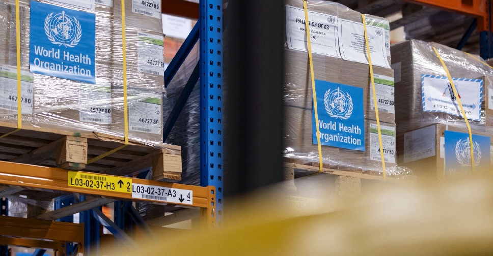 Dubai Humanitarian airlifts medical supplies to support Ebola response
 UAE suspends new visas for Ebola-hit DRC, Uganda, South Sudan nationals
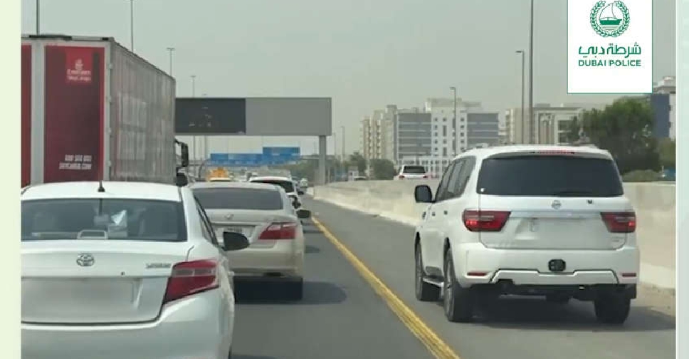 Dubai Police issues over 4,500 hard shoulder violations
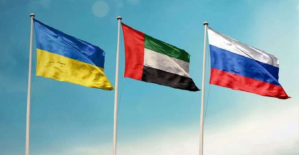 UAE brokers another Ukraine-Russia prisoner swap

