
Indonesia's disaster agency is assessing the impact of a strong earthquake that hit off the southern coast of Sumatra island late on Tuesday.
It said that there had been no reports of damage or casualties by near midnight.
The 6.3 magnitude quake struck at 21:31 local time (1431 GMT), the country's meteorology and geophysics agency (BMKG) said, with its epicentre 80 km (50 miles) south of the town of Manna in Bengkulu province, at a depth of 52 km.
Manna is about 600 km (375 miles) northwest of the capital Jakarta.
The tremor was felt for 2 to 6 seconds by residents along the southern coastline of Sumatra, prompting some to run out of their homes, disaster agency BNPB said in a statement.
Indonesia straddles the so-called "Pacific Ring of Fire", a seismically active zone, where different plates on the earth's crust meet and create a large number of earthquakes and volcanoes.
In February, a magnitude 6.1 earthquake killed more than 10 people when it struck inland near the western coast of Sumatra.


 US military marks 11th successive night of attacks on Iran
 Indian opposition disrupts parliament to support student protesters and pressure Modi
 Rubio says US still willing to negotiate over Iran crisis
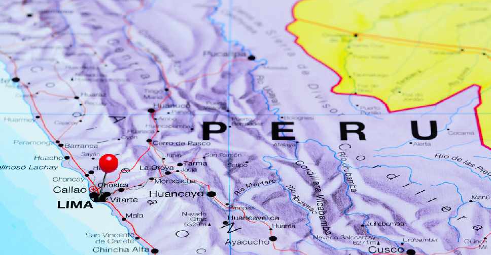 House fire kills 10 in Peru's capital, including five minors
 Ukraine will step up counteroffensive actions, Zelenskyy's new top commander says